
Our services can greatly reduce the time and money needed to get aerial imagery, comprehensive insights and site intelligence on your project.

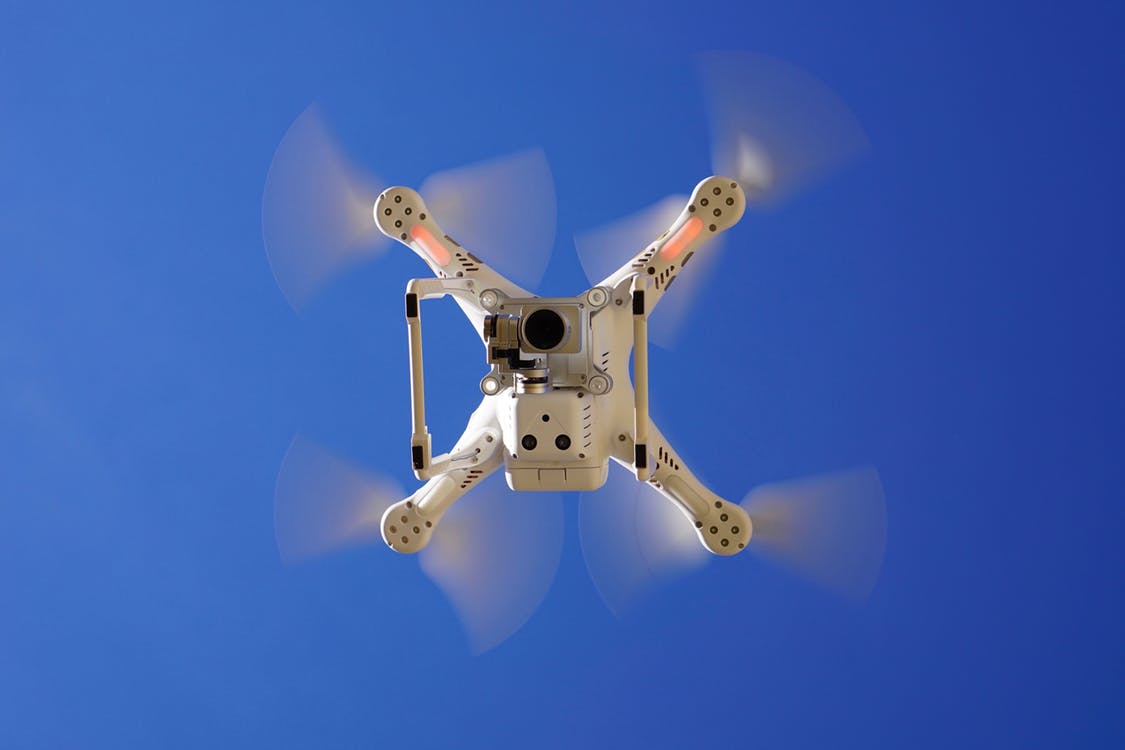
We have FAA licensed drone pilots and work closely with licensed land surveyors to ensure our geo-positioning data is not only precise, but accurately tied to the datum of your choice, whether WGS-84 or a specific State Plane Projection.
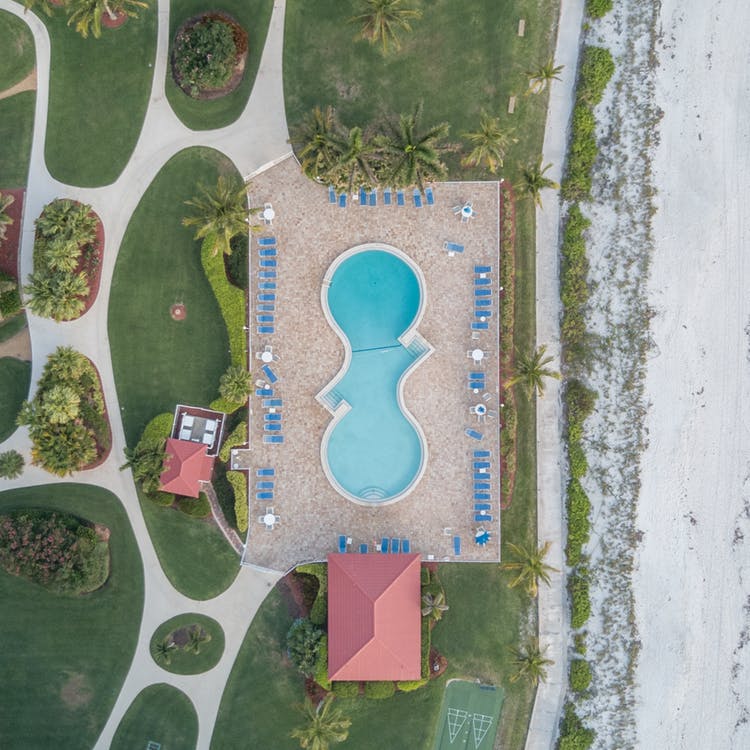
Our drones can capture HD video and imagery of your project. We have the sensor to fit your project specifications and budget.
We can also help your organization be drone ready through our drone pilot training services. If you've been unsure about incorporating drones into your operation, we can help consult you to get up and flying in no time.
© 2018 ARPIE. All Rights Reserved.