DRONE SERVICES

Arpie Drone Logo

We Have What You Need

We provide the highest quality solutions for your specific needs.

Whether it's raw 3D point cloud data or simple video footage of a home, we can get you meaningful aerial data.

The Calculations

Map Calculation

When we collect data, we include GPS locations with every photo and video we capture.

This allows the final products to be measured for 2D or 3D calculations, down to the centimeter level if you need.

Map Calculation Distance

Distance

Map Calculation Area

Area

Map Calculation Volume

Volume

Map Calculation Elevation Profile

Elevation Profile

Digital Products

digital products circuit

When we collect data, we provide you with industry-standard formats and reports.

We work with you to ensure you have what you need when you need it.

We can assist in map calculations, annotations and labeling.

Coastline Drone Photo

4K AERIAL VIDEO

Formats: mpeg (.mp4), quicktime (.mov)

Utility Powerline Drone Photo

SITE INSPECTIONS

Formats: mpeg (.mp4), quicktime (.mov)

Orthomosaic Drone Photo

ORTHOMOSAIC IMAGERY

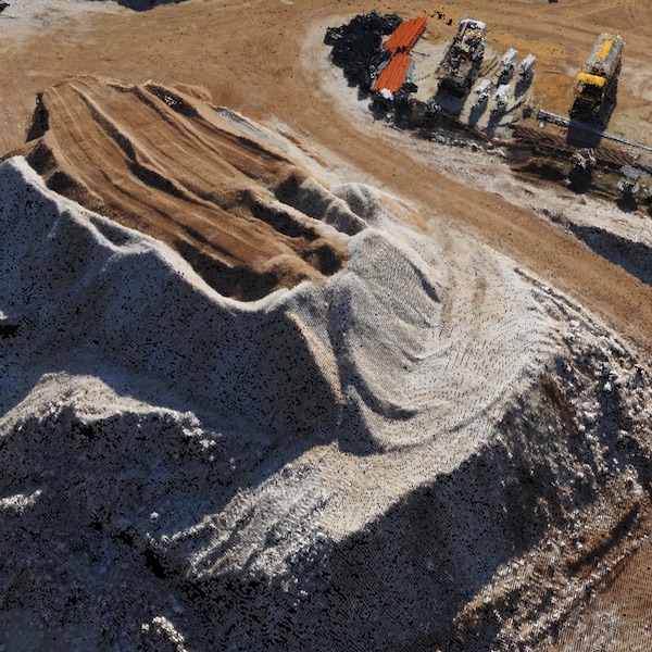
Formats: PDF, geoTIFF (.tiff), Google Earth tiles (.png/.kml)

DSM Drone Photo

DIGITAL SURFACE MODELS

Formats: PDF, geoTIFF (.tiff)

3D Mesh with Texture

3D MESH WITH TEXTURE

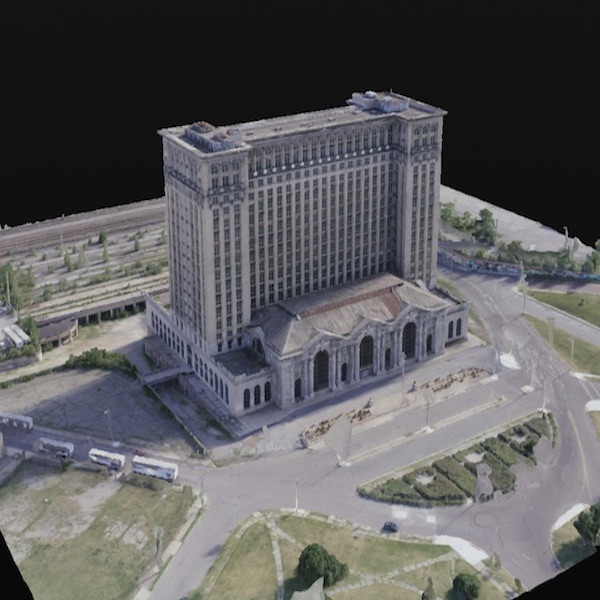
Formats: PDF, Object (.obj + .mtl + .jpg)

Drone Topographic Map

TOPOGRAPHIC MAPS

Formats: PDF, Autocad (.dxf), shapefile (.shp)

Drone Point Cloud Map

3D POINT CLOUD

Formats: Laser (.las, .laz)

Drone Flying Training

DRONE TRAINING

Formats: In-person/web + training material

Arpie Drone Logo

Find Out How Affordable It Can Be

Get a Free Quote

Contact Us For More

Give us a call to dermine how aerial imagery and location intelligence can start helping you today.

Contact